If you are looking at waterfront property in Aqualane Shores, one question matters more than almost any other: what kind of water access are you actually buying? In this neighborhood, a dock alone does not tell the full story. You also need to understand canal depth, route conditions, bridge clearance, and how close the property sits to Naples Bay and the Gulf. That is exactly what this guide will help you unpack, so you can evaluate an Aqualane Shores waterfront home with more clarity and confidence. Let’s dive in.
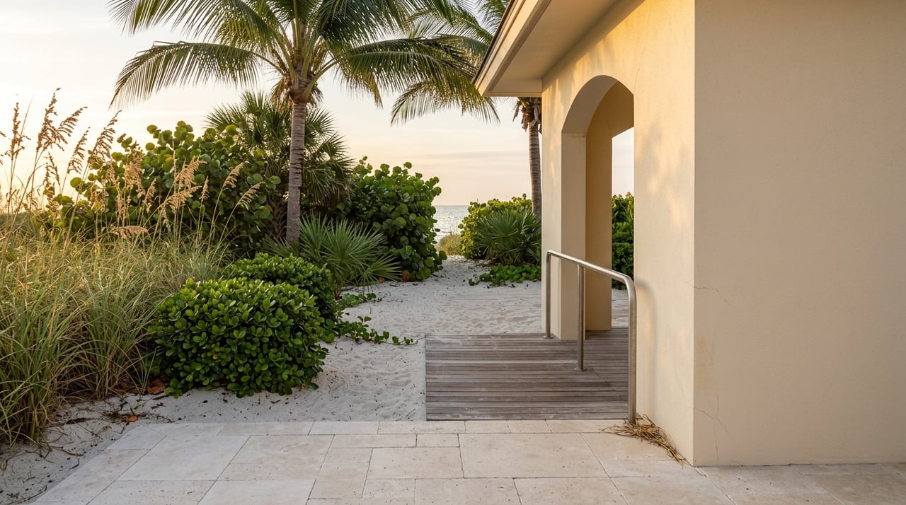
Why Aqualane Shores Waterfront Is Different
Aqualane Shores is not just another waterfront neighborhood with docks along the water. According to the City of Naples, it sits in a low-lying sub-basin between roughly 15th Avenue South and 21st Avenue South, bordered by Naples Bay and the Gulf of Mexico. The city also notes that the stormwater system here relies on gravity through canal connections, which makes the area especially sensitive to tide effects and sea-level rise. You can review the city’s overview in the Basin IV assessment.
That context matters because water access here is shaped by more than frontage. Naples Bay is a narrow, shallow estuary that connects to the Gulf through Gordon Pass, so boating utility depends on the full route from your dock to open water. In other words, two waterfront homes in Aqualane Shores can offer very different boating experiences, even if both have private docks.
Canal Access Starts With Depth
One of the most important details in Aqualane Shores is canal depth. City records show that the neighborhood’s canals have needed periodic maintenance for years, and not every section performs the same way. That history is one reason buyers should avoid assuming that every canal-front property has equal boating utility.
In a city workshop and related records, staff noted that dredging was intended to address shallow spots and that some sections had become shallow enough to affect navigation. The records also recommended dredging northern canals to five feet and southern canals to six feet, while acknowledging inconsistent conditions tied to older dredging work from the 1950s and 1960s. You can see that history in the City of Naples canal dredging records.
For you as a buyer, the takeaway is simple: depth should be verified lot by lot. A property may appear ideal on paper, but the real test is whether your vessel can safely and consistently navigate from the dock through the canal system.
What To Verify About Depth
Before you move forward on a waterfront purchase, confirm:
- Depth at the dock
- Depth at the canal mouth
- Whether the route stays navigable in marked water
- Whether recent maintenance or dredging has been completed
- Whether any special assessment or canal maintenance obligation applies
These are practical questions, but they can have a major effect on day-to-day enjoyment and long-term ownership expectations.
Bridges And Clearance Matter Too
Depth is only part of the picture. You also need to know whether your intended route includes any fixed-span bridge or overhead clearance issue. Even if your boat works well at the dock and through the canals, the route beyond Naples Bay can still shape what is realistically possible.
NOAA’s Coast Pilot explains that Gordon Pass is the entrance to Naples Bay and that the channel is marked. It also notes that a no-wake zone applies in the pass and part of Naples Bay. For route planning, NOAA further identifies a fixed U.S. 41 bridge about 2.5 miles above Gordon Pass with a 10-foot clearance, which is especially important if your boating plans would ever take you north of the pass. You can review those navigation details in the NOAA Coast Pilot for this area.
Just as important, NOAA states that charted bridge clearances are referenced to tidal datums. That means the published number is not a blanket guarantee for every condition. If your vessel has height concerns, you should verify bridge clearance against your boat’s actual height and the water level you expect to encounter.
A Smart Route Planning Checklist
When evaluating a home in Aqualane Shores, ask these route-specific questions:
- Can your boat stay in marked water from the dock to Naples Bay?
- What conditions exist at the canal mouth?
- Does your route rely on Gordon Pass for Gulf access?
- Will you ever need to travel north toward the fixed U.S. 41 bridge?
- How does your boat’s height compare with published clearance at expected tide levels?
These details may sound technical, but they often separate a waterfront property that simply looks appealing from one that truly supports your boating lifestyle.
Gulf Access Is About The Full Route
In Aqualane Shores, people often use the phrase “Gulf access” broadly. In practice, Gulf access is best understood as a route question, not just a label. A home may be on the water, but the functionality of that access depends on canal conditions, channel markings, pass conditions, and the vessel you plan to use.
Because Naples Bay connects to the Gulf by way of Gordon Pass, the path from your property to open water should be evaluated as one continuous system. The most useful approach is to look at the dock, the canal, the bay, the pass, and any route limitations together. That gives you a more realistic picture of how the property performs for boating, not just how it photographs.
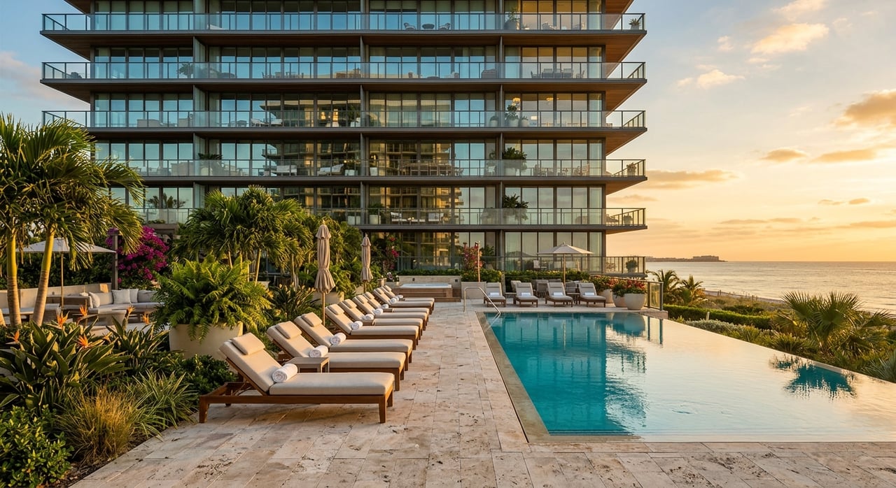
How Waterfront Utility Affects Value
Aqualane Shores pricing reflects more than views and address prestige. The market also tends to recognize the practical value of boating access, canal condition, and maintenance expectations. That is one reason waterfront lots in this neighborhood should be evaluated with more nuance than simple price-per-square-foot comparisons.
According to a broker-compiled January 2026 Naples market report, the 12-month average closed price for single-family homes was $9,505,339 in Aqualane Shores, compared with $6,380,500 in Olde Naples and $23,508,167 in Port Royal. You can see those benchmarks in the January 2026 Naples neighborhood market report.
Those figures are directional, not a substitute for lot-specific analysis. Still, they help explain where Aqualane Shores sits in the broader luxury waterfront market. It often trades above Olde Naples on average, while remaining below Port Royal, which is consistent with differences in estate scale, canal systems, and boating infrastructure.
Aqualane Shores Vs. Nearby Luxury Markets
Port Royal Comparison
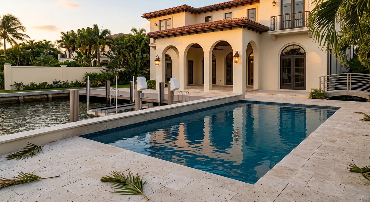
Port Royal sits in the same broader harbor-and-bay system tied to Gordon Pass, but it has long been associated with larger estate scale and a premium waterfront profile. The city also notes that Port Royal had a dedicated canal dredging special assessment district created to fund maintenance dredging, and that work is complete. That underscores a broader truth for Naples waterfront property: water usability and maintenance are part of the value equation.
Compared with Port Royal, Aqualane Shores often presents a more moderate entry point into luxury boating-oriented waterfront ownership. But buyers should still evaluate each parcel with care, because canal performance can vary.
Olde Naples Comparison
Olde Naples is often considered through a different lens. The city describes it as a primarily residential area extending generally from 14th Avenue South to Fifth Avenue South and from the Gulf to the Bay, with notable proximity to downtown destinations, Naples Landing, and the City Pier and Dock. You can see that broader context in the city’s Olde Naples area description.
That means Olde Naples is often judged more on beach access, walkability, and downtown convenience than on canal-specific boating performance. For many buyers, that lifestyle is the main appeal. Aqualane Shores, by contrast, tends to invite more direct questions about canal depth, route conditions, and practical water access.
The Best Way To Evaluate A Lot
If you are comparing homes in Aqualane Shores, it helps to separate the decision into three clear questions.
First, ask: How functional is this lot for boating? That includes depth at the dock, the canal route, and the path to Naples Bay and Gordon Pass.
Second, ask: What maintenance story comes with this waterway? City records show that dredging history and canal condition are meaningful parts of ownership in this neighborhood.
Third, ask: How does this route fit your vessel and your habits? A boat used for short bay access may have different needs than one intended for broader coastal travel.
That framework can help you compare properties more intelligently and avoid making assumptions based on frontage alone.
For buyers and sellers in Aqualane Shores, this is where local waterfront context becomes especially valuable. A polished listing can showcase a beautiful home, but understanding how a specific lot functions on the water is what leads to better decisions. If you want discreet, concierge-level guidance on Naples luxury waterfront property, connect with David W. Auston, PA.
FAQs
What makes Aqualane Shores waterfront different from other Naples neighborhoods?
- Aqualane Shores is a low-lying canal-and-bay neighborhood where water access is shaped by canal depth, tide influence, stormwater conditions, and the route through Naples Bay and Gordon Pass, not just by having a dock.
What should buyers verify about canal depth in Aqualane Shores?
- Buyers should confirm depth at the dock, depth at the canal mouth, whether the route stays in marked water, and whether the canal has recent dredging or maintenance history.
Do bridge clearances affect boating from Aqualane Shores?
- Yes. NOAA notes a fixed U.S. 41 bridge about 2.5 miles above Gordon Pass with a 10-foot clearance, so buyers should verify whether their planned route and boat height create any limitation.
Does every Aqualane Shores waterfront lot have the same Gulf access?
- No. Gulf access depends on the full route from the dock through the canal system, into Naples Bay, through Gordon Pass, and around any depth or clearance limitations.
How does Aqualane Shores compare with Port Royal and Olde Naples?
- Aqualane Shores is generally more boat- and canal-specific than Olde Naples, while typically sitting below Port Royal in average pricing and estate scale, based on the January 2026 market snapshot.
Why does boating utility affect Aqualane Shores home values?
- In this neighborhood, pricing reflects not only views and location, but also practical water access, canal maintenance expectations, and how usable a lot is for boating.